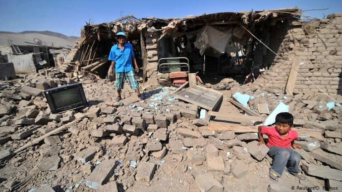
Around 12:36 a.m. local time, an earthquake with a magnitude of 7.0 struck off the coast of Peru in South America, according to a report by Bloomberg that referenced the United States Geological Survey (USGS).
According to an AFP report, the earthquake struck 8.8 kilometres (5.5 miles) from the Atiquipa area in Peru. It also mentioned the potential for tsunami waves to occur along several coastlines.
Situated close to the borders with Chile and Bolivia, approximately 380 miles south of Lima, is the district of Atiquipa in the province of Caravelí in southern Peru. There were 17 miles (28 km) of depth. No casualties were immediately reported, according to AP.
The AP report, citing local media, said that the earthquake was felt in the capital and the neighbouring districts of Ayacucho and Ica. The local radio station RPP was informed by Sancos, Ayacucho region mayor Eder Allca that a road in his district had rock avalanche that shut off multiple localities.
The Pacific Tsunami Warning Centre, which initially said there was no threat, later warned that waves of up to three metres were “possible along some coasts”, AFP said.
According to the Peruvian Navy’s Hydrography and Navigation Directorate, a tsunami alarm was triggered by the seismic event along the country’s coast. Peru is situated in the Pacific “Ring of Fire,” hence earthquakes are often there.
There were no initial reports of casualties or severe damage.
